Site banner

Great perspective (ahem)

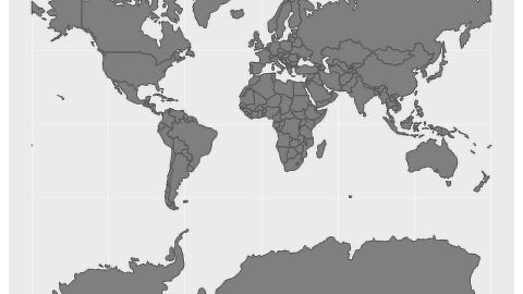
A grey world map on a pale grey background, with national borders drawn as thin darker lines. North America, Greenland, Europe, Africa, Asia, Australia, and New Zealand are visible, with Greenland and Iceland at the top and Antarctica cut off along the bottom edge. The United States, Canada, Mexico, and Central and South America sit on the left, and Russia, China, India, and Southeast Asian islands fill the upper right. Africa is densely divided into many countries, and Europe’s many small nations are outlined in the upper center. Madagascar lies off Africa’s southeast coast, and Australia appears in the lower right. The map has no labels, title, or other text.

Maps Distort How We See the World

*****
Written on