Site banner

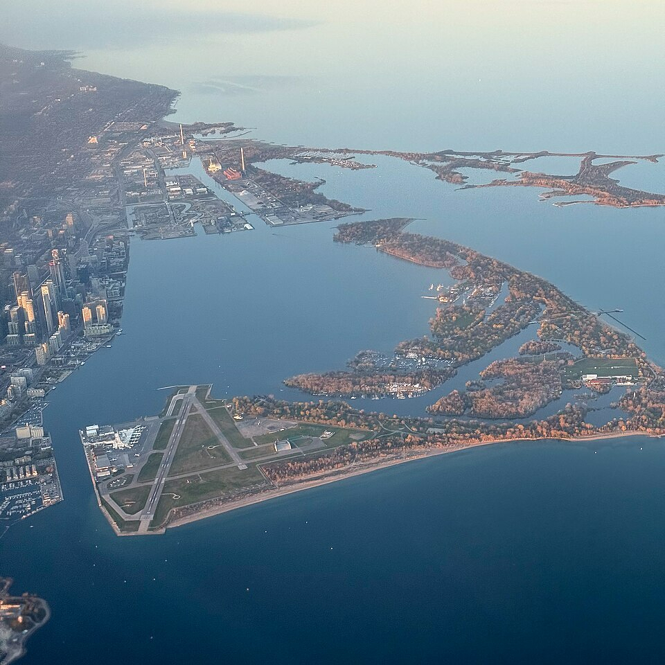
On this date in 1858, Toronto Island was formed when a storm created a 500-foot gap in the isthmus connecting it to the mainland. This opening would grow over time to become the Eastern Gap.

(via @muddyyork.bsky.social)

An aerial view of Toronto’s waterfront and the Toronto Islands during daylight. In the foreground, Billy Bishop Toronto City Airport is clearly visible, with its triangular runway layout surrounded by water. The Toronto Islands, covered with a mix of trees and open clearings, extend into Lake Ontario, with lagoons and inlets carving through them. Several small boats and docks are visible along the island’s shorelines. The downtown Toronto skyline appears on the left side, with clusters of tall buildings, while the industrial port lands stretch into the distance along the water. The calm lake reflects the soft light of early morning or late afternoon, and the horizon fades into a hazy sky.
*****
Written on